

Australian Biological Resources Study
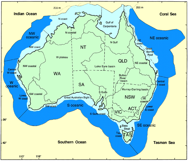
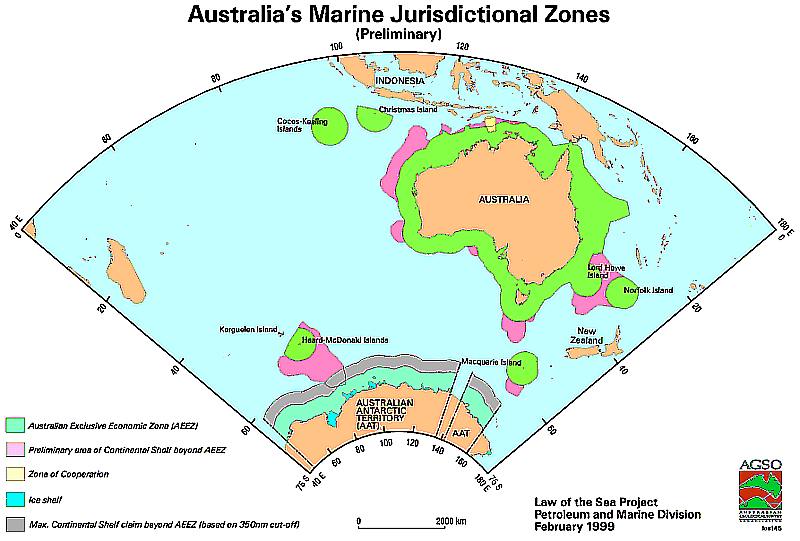
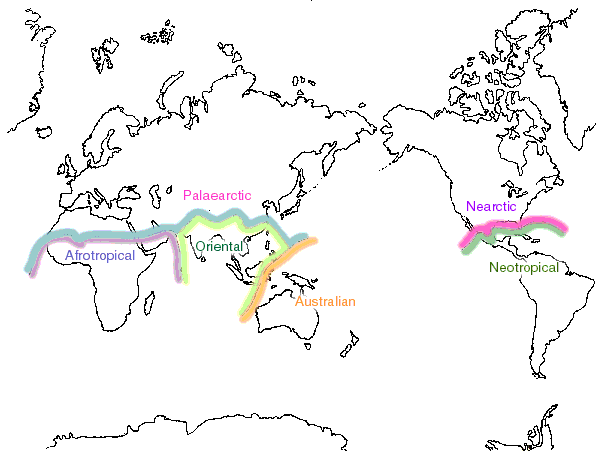
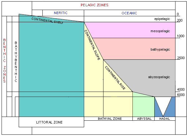
The following maps provide a guide to the distribution information used in the Australian Faunal Directory:
Distribution data in the Australian Faunal Directory is by political and geographic region descriptors and serves as a guide to the distribution of a taxon. For details of a taxon's distribution, the reader should consult the cited references.
Australia is defined as including Lord Howe Is., Norfolk Is., Cocos (Keeling) Ils, Christmas Is., Ashmore and Cartier Ils, Macquarie Is., Australian Antarctic Territory, Heard and McDonald Ils, and the waters associated with these land areas of Australian political responsibility. Political areas include the adjacent waters.
Terrestrial geographical terms are based on the drainage systems of continental Australia, while marine terms are self explanatory except as follows: the boundary between the coastal and oceanic zones is the 200 m contour; the Arafura Sea extends from Cape York to 124 DEG E; and the boundary between the Tasman and Coral Seas is considered to be the latitude of Fraser Island, also regarded as the southern terminus of the Great Barrier Reef.
Records, if any, outside of these areas are recorded as extralimital. The distribution descriptors for each species are collated to genus level. Users are advised that extralimital distribution for some taxa may not be complete.
A descriptor with an asterisk (*) implies that the information is unconfirmed but, in the opinion of the author(s), likely to be correct. If the author qualifies the distribution data, that additional information is separated from the descriptors by a semicolon.


Under development
